Join This Season
SwiftWatch
May - September
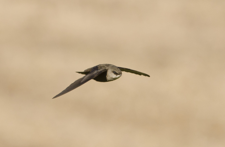
A flexible solo or group activity that can take place any time from dawn till dusk. Counting Chimney Swifts is quick to learn and the birds are delightful to observe.
Hop in the car and put your bird ID skills to work, counting every bird you can see or hear along a 40 km route.
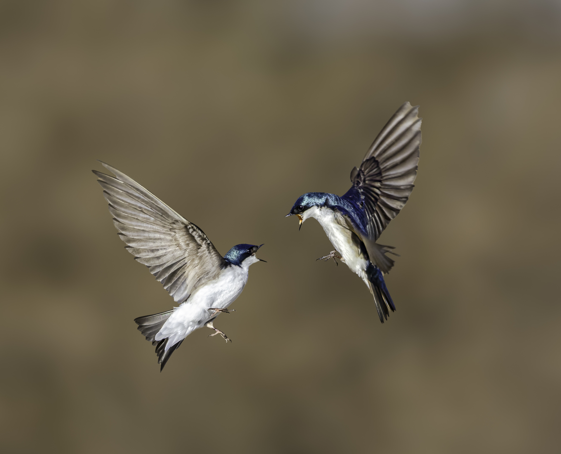
©Tree SwallowsPhoto: Daniel Huang
©Tree SwallowsPhoto: Daniel Huang
Skilled volunteers travel down a sideroad, and at each stop they observe the chirps, fluttering of wings, and twinkling songs that make up a landscape – counting all the birds they can find, while contributing to an effort that’s been ongoing for over 50 years.
Detecting changes in bird populations as they happen helps guide timely conservation action and ensures decisions are grounded in strong science. The data you collect is the primary source of long-term bird population trends across the continent.
As a volunteer you carry out your assigned roadside route(s) one day during the breeding season (May 28-July 7) and record all the birds you see or hear at each stop, continuing for as many years as you can participate. Routes consist of 50 stops spaced 0.8 km apart along a 39.4 km stretch of road. At each stop, you record the total number of individual bird species you hear or see within 0.4 km during a three-minute observation (known as a point count). These data are carefully analyzed yearly to provide information on bird population trends, relative abundance, and species composition at the local, regional, and continental scale.
We encourage people with strong bird ID skills to sign up!
The North American Breeding Bird Survey (BBS) is the primary source of long-term, large-scale population data for over 400 breeding bird species. Conducted since 1966, this standardized roadside survey relies on volunteer participation, where you contribute directly as a skilled birder. It is coordinated in Canada by Environment and Climate Change Canada (Canadian Wildlife Service), in the United States by the U.S. Geological Survey (USGS, Patuxent Wildlife Research Center), and in Mexico by the National Commission for Knowledge and Use of Biodiversity (CONABIO). Birds Canada provides provincial coordination in Ontario.
The BBS data are freely available, and are used by scientists, wildlife and land managers, educators, students, and the general public to track bird population changes over time. By contributing to the BBS, your data is used by countless individuals and institutions to uncover population trends, prioritize habitat protection in important areas, identify knowledge gaps in survey methods for various species, assess the impact of emerging threats, and more. The State of Canada’s Birds Report (2024) was produced in part by using BBS data to provide an easily accessible and digestible foundation for understanding population trends to direct conservation action for our most at-risk species in Canada.
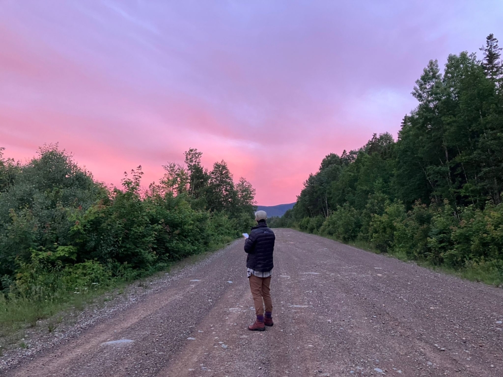
©Popple Depot, NBPhoto: Sasha Chilibeck
Contact your regional coordinator to sign up.
Sign up for Birds Canada’s newsletter to receive the latest stories, science, conservation news, and opportunities to get involved.
A flexible solo or group activity that can take place any time from dawn till dusk. Counting Chimney Swifts is quick to learn and the birds are delightful to observe.
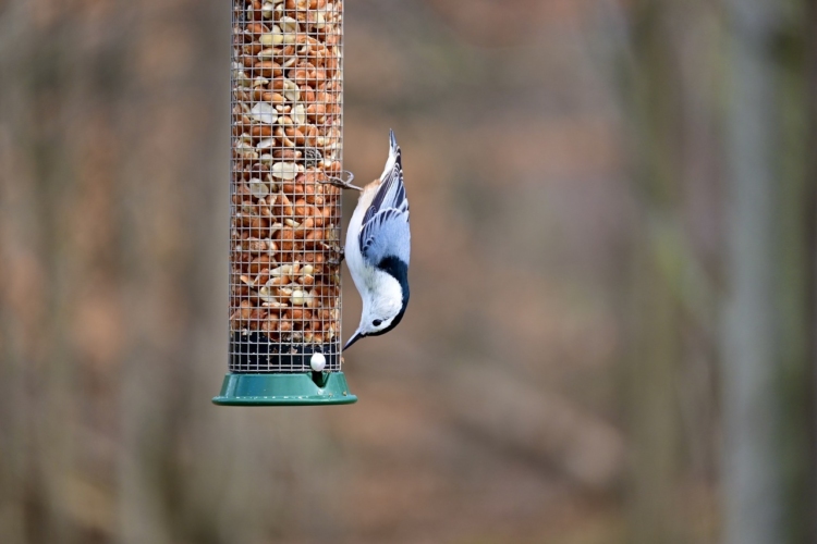
Counting birds at your feeder this winter is an easy, flexible opportunity - open to all skill levels and a great way to learn bird identification.
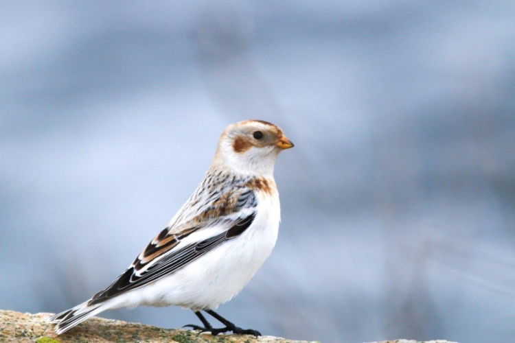
A long-running favourite, the Christmas Bird Count welcomes all skill levels and is a great way to meet birders, build skills, and embrace winter.
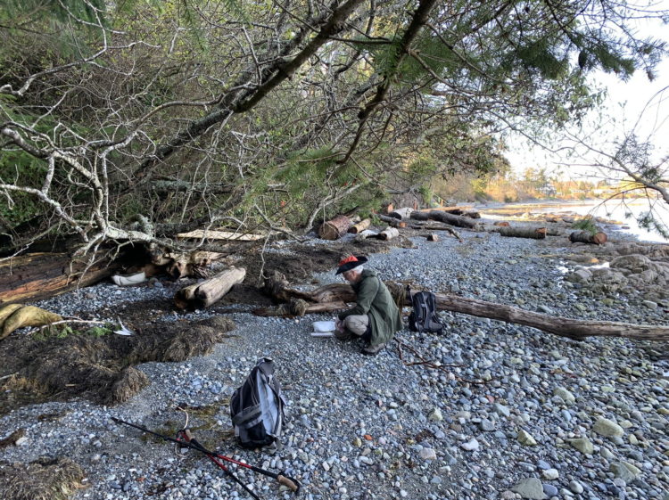
All skill levels can help monitor seabird mortality along coastlines – essential for early detection of oil spills and environmental change.
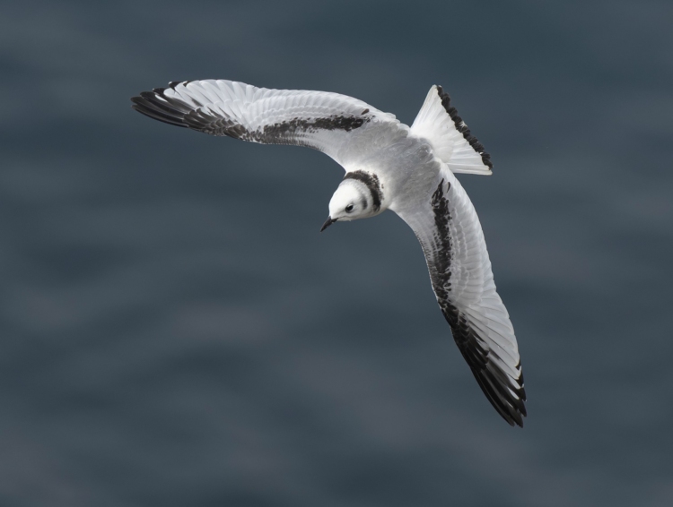
With specialized waterbird and raptor ID skills, help monitor a stretch of coastline once a month from September to April.
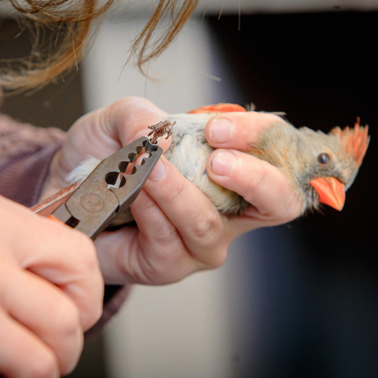
Located in the heart of an important migration corridor in Long Point, Ontario, LPBO brings people together through research, education, and training that deepens our understanding of birds, conservation, and the natural world. From migration monitoring to public engagement, LPBO offers volunteer opportunities to build skills, gain hands-on experience, and contribute to meaningful conservation work. More than a volunteer experience, this is a chance to live and learn at the heart of migration and become part of a community working together for birds.