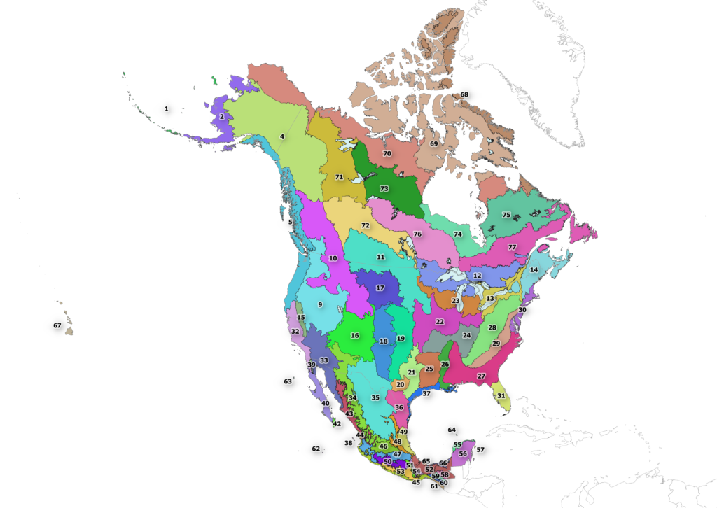
Bird Conservation Regions
Bird Conservation Regions are areas with similar bird communities, habitats, and resource management issues that extend across political boundaries. They support conservation planning and research across connected landscapes and habitats.
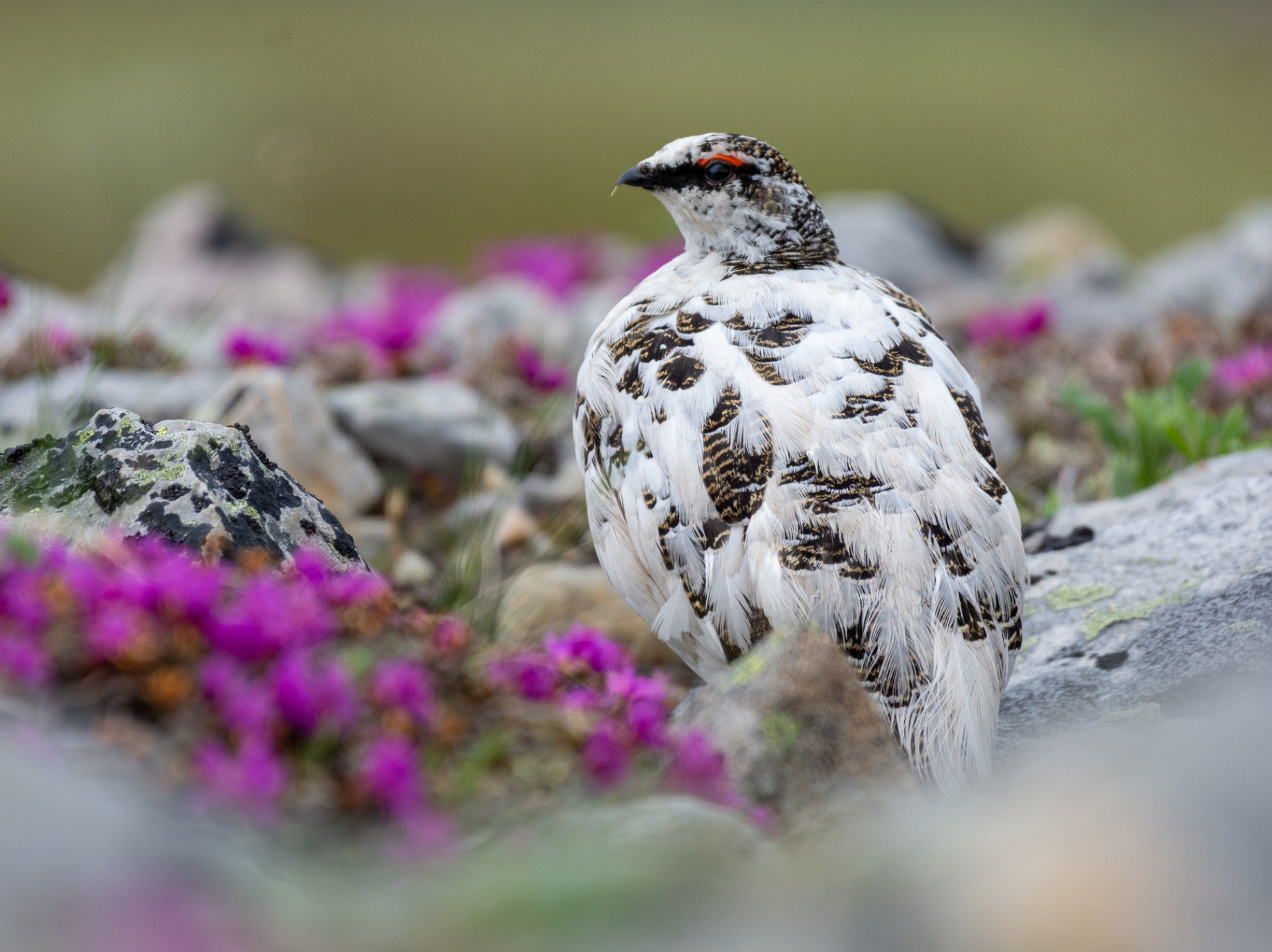
©Rock PtarmiganPhoto: Joshua Brown
©Rock PtarmiganPhoto: Joshua Brown
Bird Conservation Regions (BCRs) divide North America into distinct areas that help understand, prioritize, and address bird conservation issues. Unlike provinces, states, or other political regions, BCRs are defined by their plant and animal life, geology, and climate. Each BCR has a unique bird community, making it a logical unit in which to assess and address conservation concerns. BCRs encourage collaboration because they ignore state, provincial, and national borders.
BCRs were developed in 1998 by a team with members from Canada, the United States, and Mexico. They are based on the level 1 and level 2 terrestrial ecoregions developed by the Commission for Environmental Cooperation (CEC). The BCR boundaries have been formally reviewed and updated on three occasions: in 2009, 2014, and 2025. Birds Canada maintains the authoritative version of BCR files and is pleased to make them available in various formats. See below for download links, use license, and recommended citations.
Bird Conservation Regions
BCR Download Links
Bird Conservation Regions Map